Today’s been a great day of walking, even if I’m definitely sunburnt. I seem to have walked myself through the stressed that have been getting me down over the last few weeks and through sweat and over exertion I have found myself again. Happy and content as a solo walker. And back on the Nantlle’s!

Its been nearly ten years since I did the first half of the Nantlle ridge, back on my ML training as part of the two day expedition. So it was nice to finally be back to finish it off.
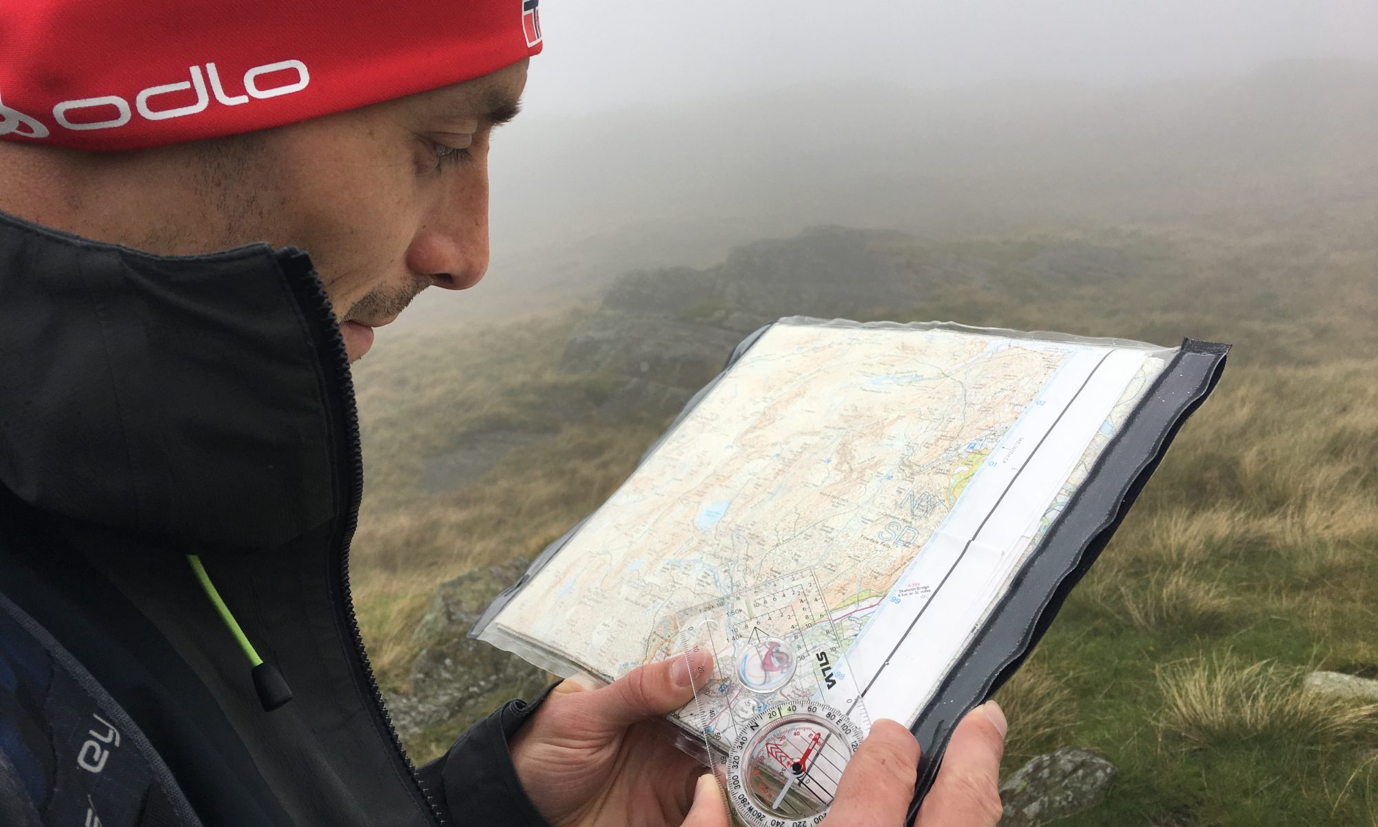
I parked at Nantlle village and walked back to pick up the path across the fields in the direction of the campsite at Tal y Mignedd Isaf. I momentarily forgot I was in Wales and that footpaths are rarely signposted from the road and require a bit of hunting out. So it was reassuring when the Snowdonia park ranger pulled up as I was doubling back with my map in hand.
He kindly confirmed that the house I was stood next too was indeed where the path was and while it was due to be diverted (hopefully a signpost will appear then!) for now it was fine to wander through their gate. So if you’re looking for the path from the B4418 that crosses the river to the east of Llyn Nantlle yes, do go through the gate at the house called Tyrpeg Gelli.


Cross the bridge over the river, but instead of heading to the campsite cross the second bridge immediately opposite and pick up the track which leads upwards to the open access moorland to ascend Mynydd Tal-y-mignedd.


Heading upwards you can eventually see the obelisk which marks the summit. It was another scorching day so whilst I’d at least found my walking rhythm again, I could feel myself baking in the heat. (I can confirm a very red neck despite a buff!) Its a bit of a monotonous plod to the obelisk but worth it for the view.


After a massive handful of jelly beans and nuts I headed down following the fenceline and picking my way through the rocks to reach the col (sorry Wales, I mean Bwlch) and then headed up Craig Pennant. This turned out to be a great route up as you pick your way through rocks all the way up, nothing too scrambly and difficult but requires concentration nonetheless. The top is marked by a shelter.

 From there it is a skip across the top to reach the trig point at Garnedd Goch a rather uninspiring trig point but the view makes it worth it.


From here I headed down following the wall to the north west all the way to reach a small car park at the end of the road at Maen Llywyd.

The route from here back to Nantlle was intended to follow the paths down to the quarry but to start with the path just after the ruined house at Bryn llidiard (517498) was on the wrong side of the fence to what my map said. Not wanting to rip another pair of trousers on barbed wire I followed the path.

Which then meant I couldn’t head north east towards the quarry! So I headed down continuing to follow the fence and squeeze through a hole in the fence ahead next to the ruined building.

Which at least meant I could see a track through to lead through the tips adjacent to the quarry and then out on to the road. A typical end to a welsh walk in many ways!
From there I had a mindless plod back along the road to Nantlle but at least I got to see this view!

Beautiful scenery. Thanks for sharing your adventure!
Cheers,
– James