The weather forecast wasn’t looking good, thunder and rain was forecast. Perhaps we wouldn’t get to do the Drei Schwestern, the main bit of the ridge.

Inspiring Your Outdoor Adventures
The weather forecast wasn’t looking good, thunder and rain was forecast. Perhaps we wouldn’t get to do the Drei Schwestern, the main bit of the ridge.

If you’ve spent any time in Quito you will have been aware of the old volcanic peak of Pichincha as it is the highest point close to the city and marked by the cable car which takes you on to the plateau below the summit.
It is possible to catch the cable car up Pichincha and walk for a couple of hours to reach the scramble to the summit. However offered the option of the full traverse of the volcanic ridge I wasn’t going to turn that down.


It’s taken me a while to get around to writing about Cayambe. For some in our group it was their first alpine ascent, for some their first 5000m peak. So I didn’t want to take anything away from that achievement for them. It’s certainly an epic achievement, a great volcano/mountain to climb and a wicked view from the summit. There’s not many places you can climb a volcano and see others surrounding it which are still active.
But for me, it was the first guided ascent I’ve done in 6 years and reaffirmed why I hadn’t done any sooner.

After a few days in Quito we headed out for acclimatisation walks and Lake Cuicocha was a beautiful place to have on the list.
We’d spent the night in Otavalo, a nearby town which was very friendly and laid back. After a morning wandering round the market and having coffee in a cafe we drove to Lake Cuicocha.
Lake Cuicocha is a 3 km wide caldera lake at the foot of Cotacachi Volcano. The name comes from the Kichwa, a variety of Quechua language and means lake of the guinea pigs – referring to the two humped islands.
Continue reading “Lake Cuicocha”
Ecuador definitely changed my opinion of South America. It’s a vibrant and positive place which was friendly and accessible.
We used Quito as a based for our mountaineering trip but there’s plenty in the city which must be seen too. I loved having some free time to explore, especially getting off the beaten path.
Here’s some places you must seek out while in the city. Bear in mind Quito is a massive city, covering 370 square km. This means taxis can be essential to getting around.
Continue reading “Must see places in Quito”
Sometimes I get asked to review some beautiful books. Mont Blanc Lines is definitely one of those. It succeeds in not only having beautiful images of the Mont Blanc massif in a coffee table book format but also providing detailed topos and stories.


Sweating pouring down my back, muttering expletives under my breath as I carried my On-One 456 on my shoulder. Seat digging in and the pedals constantly clipping my leg. As I emerged from the woods I put my bike down to find 4 ticks on my legs. That was it. I lost it.
Mountain bike the West Highland Way?! Who’s stupid idea was this?
Continue reading “Mountain Biking the West Highland Way”
I met the ridgeline and immediately got pushed back by the wind. As I braced myself I looked across to the mountains and questioned my route for the day.
With only one day left in Zakopane to go hiking I caught the bus to Dolina Chocholowska. I’d wanted to visit this valley so I could tick off all of the major valleys in the Polish Tatras and complete another round of mountains.
Continue reading “Tatras: Dolina Chocholowska round”
Everyone who heads to the Polish Tatras visits Morskie Oko as it’s a popular beauty spot. Whilst I usually look to get off the beaten track I had decided a bus ride around there would provide a great opportunity to walk back to Zakopane over the mountains.
The walk into the Morskie Oko hut from the bus stop is a very boring 8km walk along a tarmac road. There are horse carriages but I’d opted to walk and save money, and as I was staying at the hut that night I didn’t have anything else to do that day.
Continue reading “Morskie Oko and over the Krzyzne pass”
The Kirklees Way circles the borough providing a 73 mile/ 118km challenge which takes in some of the areas rugged trails and industrial scenery, along with plenty of farmland, moorland and woodlands.
I undertook this route over three days, but 4-6 days is more realistic.
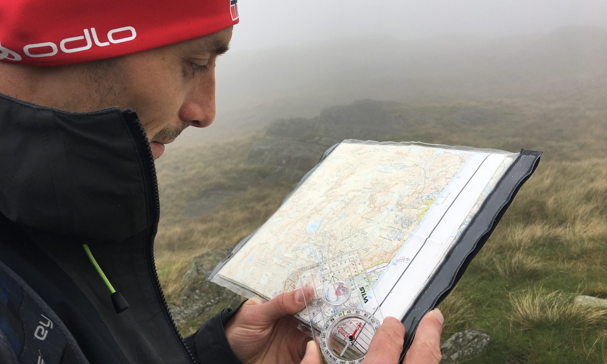
I should add that like many named routes in the area, the Kirklees Way might be a marked trail on the map, but a lot of the route isn’t well signposted and can be quite overgrown (especially at the height of summer). Some of the stiles and gates are also in poor condition. Map reading is definitely required!
Continue reading “Tackling the Kirklees Way”