At 105 miles the Tour du Mont Blanc is not the longest long distance route I’ve completed, but it was the first one overseas and the first completed in one go and not broken up over weekends like the Pennine Way.
Suggested by two friends who had completed the trail years ago, the thought of crossing through 3 countries, tackling Alpine passes and walking through sun, snow and probably rain, the TMB sounded just like my kind of trek.
Choosing to walk clockwise meant that we would be passing other walkers rather than catching them up, which for most of the route would enable us to have relative peace. Or as much as you can ever get in the Alps.
With my bags packed, the Cicerone TMB guide studied and a whole lot of enthusiasm and naivety; I headed out to the Alps giddy with excitement.
Having spent the first night at the campsite at Les Bossons, just outside Chamonix we had a fantastic view of Mont Blanc which we were to spend the next 10 days walking around.
Day 1 – Plan Praz to Frasserands 6 hours 30
Distance 13.6km and 400m ascent and 2030m descent
Starting at Plan Praz felt a little like cheating as we had caught the cable car up to the first station. But our last day would be covering the tremendous hike from the floor of the valley to Le Brevent mountain top, so what idiot would do half of the height twice? Not us.
It also gave us a relaxing start to the trek, which in the 32 degree heat was appreciated. The path is really easy to navigate and a good track all of the way. We stopped briefly at Le Flegere refuge for a drink and to soak up the view and check out the ibex who wasn’t at all bothered we were there.


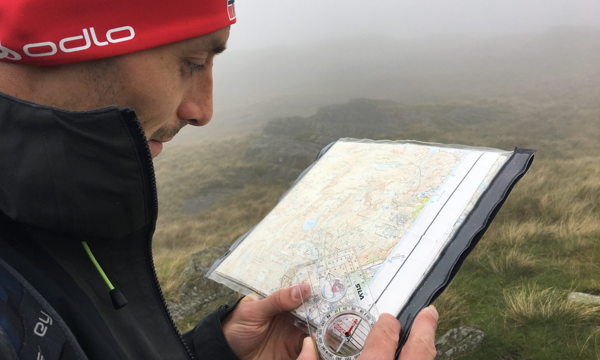
As it was still early in the season we took the Balcon sud route as there was still a significant amount of snow on Les Blancs. This is one of the special joys about the TMB is that whatever season you undertake this in, there are a lot of variant paths than mean you can still do the route.


From the Col de Montetes we had a knee crushing descent of endless switchbacks to reach the road at Tres le Champ, where we then plodded down a path by the road into Fresserands and our campsite for the night, where we could see tomorrows ascent to the Col de Balme.

Day 2 – Frasserands to Le Puety 6 hrs 45
Distance 10.7km approx with 1115m ascent and 1070m descent
Being able to look back over the our first day’s walk made the ascent out of Frasserands bearable; its certainly a steep ascent through the woodland. Initially the path felt like an assault course through the fallen trees and though we made good time it was hard going. Steep never-ending zigzags would become a theme of the trek. These pictures are looking back along the route.


There was an annoying section of downhill before we ascended the paths of the ski area around the Col de Balme to reach the top of the pass, saying goodbye to France and hello to Switzerland.
The descent down included crossing some steep banks of snow – can you see the little people at the top of this one looking back up the route?

Reaching the Treint valley was exactly like reaching the Sound of Music country, with endless fields of wildflowers and the sounds of cow bells, which would be less than romantic late at night but for now was just what I wanted.

Our campsite was the rough ground at La Peuty where the was a toilet block and cold running water and an area to sit and cook. So it was a pretty good spot – quiet except for the damn cows and their bells.

Day 3 – La Peuty to Champex 7 hours
Total distance 13.9km and 910m ascent and 680m descent
Despite the day starting with a climb the path to the Col de Forclaz was steep busy relatively easy, following an old track through the woodland. The cafe at the road was open so we stopped for a strong coffee.
The ascent from here up to the refuge at the Col de Bovine seemed to go on and on, but breaking out of the woodland eventually to see the Bovine refuge was amazing and worth the effort. Even if it was clear why it got its name!


After another coffee at the refuge Bovine we continued on heading downhill to Plan de L’Au, a steep and winding path which eventually flattened and headed through woodland.
We eventually arrived in Champex where we walked around the Lake to the campsite. 

2 Replies to “Tour du Mont Blanc 2012 – Chamonix to Champex”